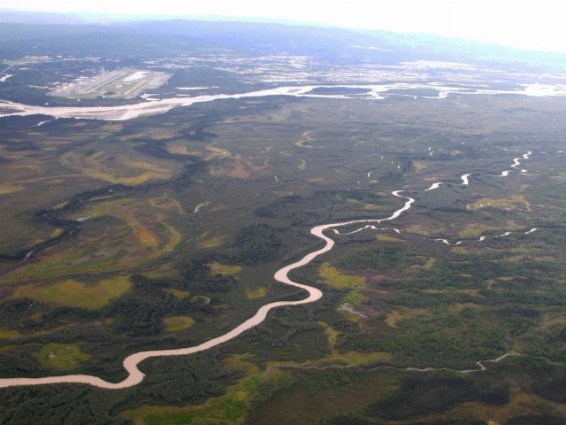
Aerial Photo of Fairbanks, Alaska

Taken on Aug. 3, 2011
This aerial photo shows Fairbanks, Alaska in the distance, behind the Tanana river. The flat landscape with a mosaic of forest and open wetlands, and slow-moving, meandering streams and rivers is typical of the Interior Bottomlands, although the shown area is the relatively warmest and most populous section of this region.


