
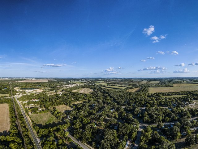
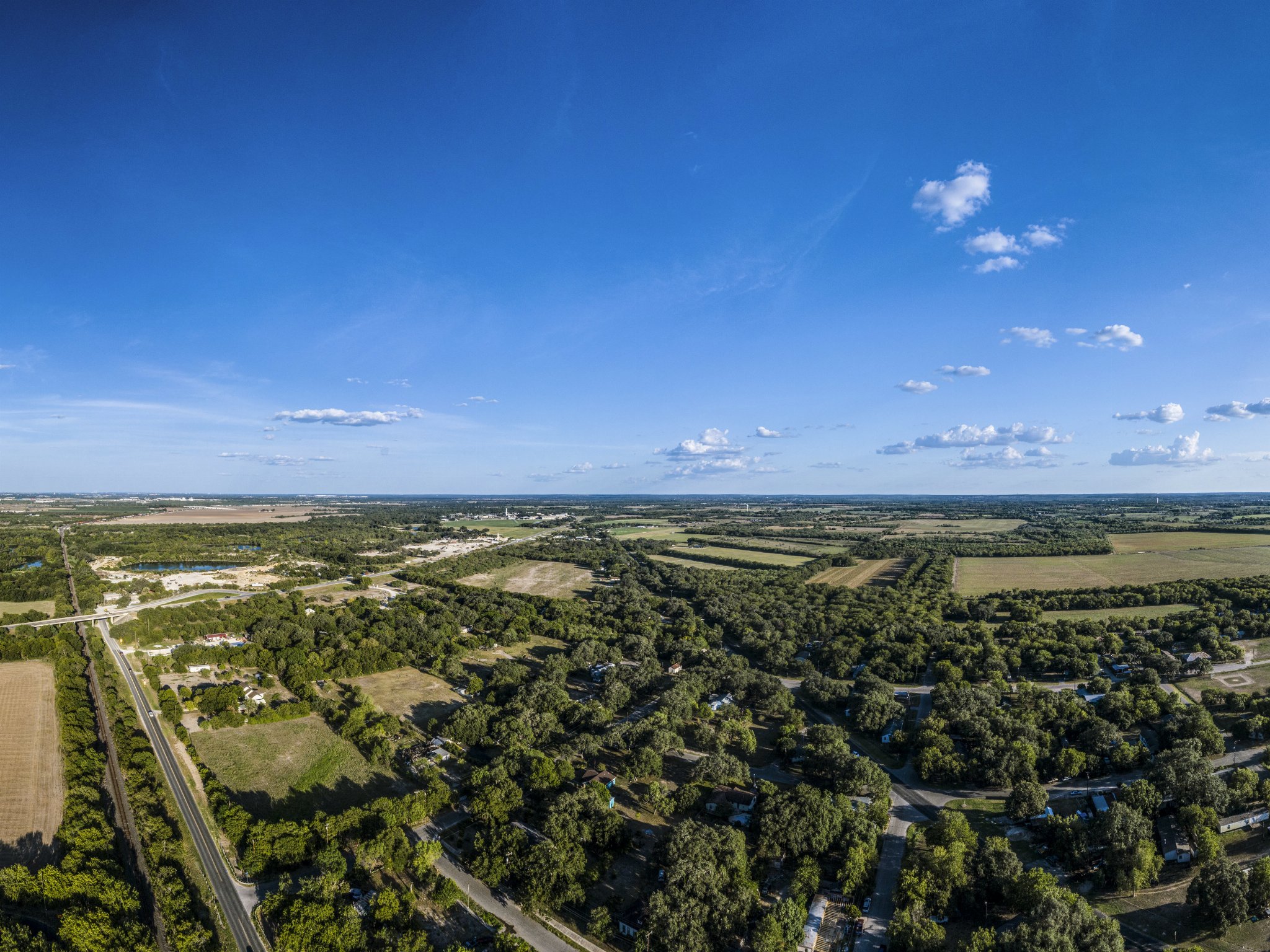
Aerial Photo of Macdona, TX
Taken on Aug. 18, 2000
This aerial photo is taken from near the edge of the San Antonio Metro Area and shows a typical range of land uses in this region, spanning low-density suburban development to relatively intensive agriculture. The landscape is nearly entirely flat, and quite lush even after summer, reflecting this region's fertile soils and still somewhat abundant rainfall.
This photo was cropped from the original.