
Range Map & Taxonomic Update Progress
January 31st, 2024 by Alex Zorach
Back in September of 2022 we announced that we had completely retired our first-generation range maps, replacing them with new and improved maps. However, many aspects of our maps remained incomplete. Many species still lacked maps, and most maps were strictly limited to the lower 48 US states, not extending into Canada, Alaska, or Mexico.We have since made great strides in map completion:
- 16838 plants now have range maps. This is over 81.5% of the plants listed on our site.
- 5061 maps have been completed for all of North America, including Canada, Alaska, and Mexico for species that occur there. This is now over 30% of our published maps.
- 5653 plants (over 27% of plants) have been interlinked with Plants of the World Online (POWO) and had their taxonomy updated to reflect the information from POWO.
- We began marking plants that we wanted to list on our site, but that do not occur in the wild in North America and thus have no map or an empty map. We currently list 27 such plants and this number will probably increase quickly now that we have this category.
Why has the rate of map completion slowed down?
If you have been following us since the beginning, you will notice that our rate of completion of range maps has slowed down considerably. We have been putting more time and effort into range maps recently though. The slowdown is both because we completed the easier maps first, and because we are developing higher standards as we further refine existing maps.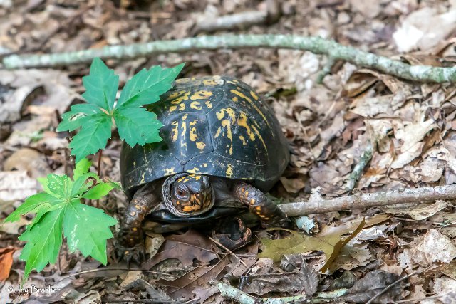 Like this Eastern Box Turtle (Terrapene carolina ssp. carolina), we are getting to our destination slowly. The featured plant is Virginia creeper (Parthenocissus quinquefolia). Photo © Jay Brasher, CC BY 4.0, Source.
In many cases, constructing maps was straightforward because there was complete, accurate data available from the various sources we consult, and the different authorities agreed on plant ranges and establishment means (i.e. native vs. introduced.)
In other cases, things get messy. Sometimes data is missing or incomplete. Often, different sources disagree, and we need to research and make tough judgment calls about which material to accept as correct. Common issues include misidentifications, and different standards in different sources about when to consider a record a cultivated plant, vs. a waif (a transient introduction into the wild that does not persist), vs. solidly established in the wild. Many plants also have taxonomic complexities, such as splits, merges, and other reclassifications. Taxonomy can also interact with identification issues, such as when a record was identified as a particular variety or subspecies, but that taxon then later up getting moved into another species.
We have been building our range maps by conducting multiple sweeps through the data. On each sweep, we construct maps using the tools and processes we have available, and put a certain portion of the remaining map in a "messy" bin, to do later. At the same time, we also work to improve and streamline our map building process. Over time, the plants left in the "messy" bin become progressively more difficult to deal with, so even with better tools to facilitate our work, our maps become slower to build with each pass.
| Legend | Color |
| Native | |
| Introduced | |
| Extirpated | |
| Expanded | |
| Not Present | |
| Native or Not Present | |
| Native or Expanded | |
| Expanded or Not Present |
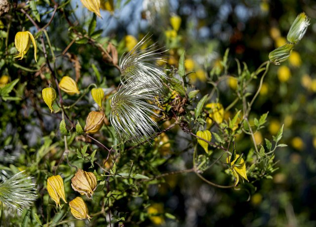
The map for slender snakecotton (Froelichia gracilis) illustrates multiple challenges and complexities. Its native range extends into Mexico, in ecoregions that do not intersect the United States. Although native to North America, it is now found in areas beyond its native range, but it has also been extirpated from part of its native range. Some of the new parts of its range are adjacent to the native range (and thus we mark them Expanded) whereas the California populations are separated by long distances and major geographic divides (and thus we mark it Introduced.) Different sources also disagree as to exactly where it is native; in this case we took BONAP's report over POWO's. And all of this has happened without any taxonomic complexity; this map, believe it or not, was relatively easier to build than many of the ones we have completed recently.
Our standards are also higher with our second-generation range maps; early on we just wanted to get something out, whereas now we have more different categories on the map legend and are taking care to notate uncertainty in the map itself. Related to these high standards, if you see something that you think is inaccurate or could be improved, please contact us. You do not need to be an expert to help us refine our maps. Seeing a species in the wild outside its reported range, or just seeing something on a map that you think doesn't make sense, are both signs that you may have something to contribute.
Interlinking with Plants of The World Online (POWO)
POWO is a taxonomic backbone run by the Kew Botanical Garden in London. In contrast to our routine, mostly-automated interlinking with other databases, our interlinking with POWO involves examining POWO's treatment of each taxon and comparing it to the schemes used by other authorities. Records integrated with POWO have mostly been brought up-to-date with modern taxonomic changes. In the overwhelming majority of cases, we adopt POWO's treatment. In the few cases where we adopt a different treatment (this usually happens in the rare cases where POWO is not up-to-date on newer work and another source we consult is), we still carefully examine POWO's listing. In a few cases we have enacted splits that POWO has not, in line with Flora of the Southeastern U.S. (FSUS) by Alan Weakley.Differences in classification are a primary reason for discrepancies in plant range maps between different sources. There is often not a 1-to-1 relationship between records. You can read about how we resolved these discrepancies in the notes fields on each plant page. Taxonomy notes are located above the table-of-contents, right under the plant's names. This placement ensures people will have a clearer idea of what taxon the page refers to before reading the article or seeing the map, in the case that there have been confusing reclassifications or inconsistencies in naming. The range map notes are found directly under the map, and explain any judgment calls we made in constructing the map as well as any clarifying info beyond that conveyed by the legend.
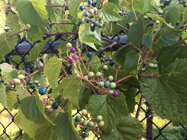 Porcelain berry (Ampelopsis glandulosa), an invasive vine in the Mid-Atlantic to Northeast, has taxonomy notes explaining its reclassification from a proper species into a variety of another species. Photo © Ron Burkert, CC BY 4.0, Source.
Although the notes are brief on most articles, and many articles lack notes entirely, the total extent of notes is massive. We have already published over 16,000 words in the taxonomy notes, and over 58,000 words in the range map notes. This amounts to about 250 full pages of text. These counts do not include automatically-generated legends nd other verbal notes listed under many maps. The volume of these notes explains why our progress on the more difficult plants is progressing more slowly. We want to make sure we both document and explain our choices, especially in the cases where different sources disagree on taxonomy or ranges.
No Maps: Plants Not Occurring in The Wild in North America
Although we focus on plants occuring in the wild in North America, we list a number of plants with empty range maps, meaning that these species are not and have never been found in the wild here. These plants broadly fit into one of two categories: plants that are widely cultivated, but have never established or been recorded in the wild, or plants that were reported somewhere in the wild but where those records were later deemed to be invalid. We retain both of these types of records for several reasons.For garden and landscaping plants not recorded establishing in the wild, it is always possible that these plants will establish in the wild at some point in the future. Being aware of these plants and knowing how to identify them can ensure they are more quickly detected if they ever do escape and naturalize.
Some plants were widely planted for years or even decades without naturalizing, only to eventually escape into the wild, sometimes even becoming invasive. For example, kudzu (Pueraria montana) was brought to the US in 1876, but the first herbarium specimen we could find, collected from the wild in North America, was from 1901, and kudzu was not recognized as invasive until decades after that.
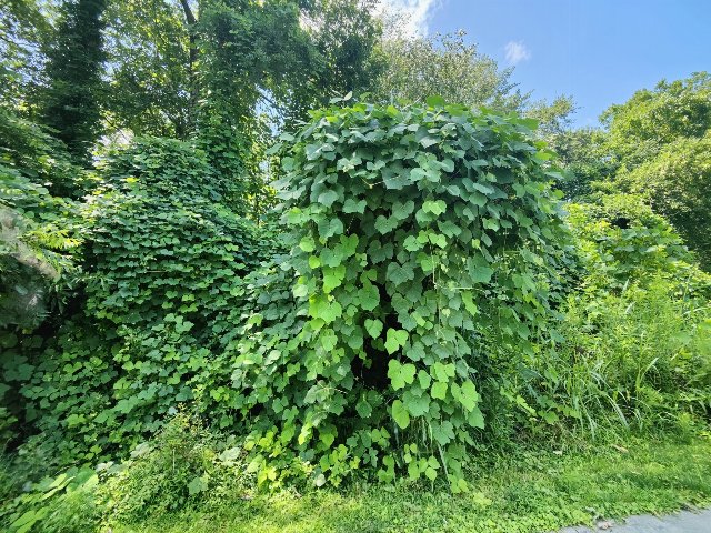 Kudzu (Pueraria montana) is so invasive in the southeastern US that it is often described as "the vine that ate the south", but it was planted for decades before it was first observed in the wild, and many more decades before it became invasive. The case of kudzu illustrates the importance of monitoring introduced cultivated plants even when they have not been recorded escaping into the wild. Photo © Siddarth Machado, CC BY 4.0, Source.
It is also possible that plants are already present in the wild in North America, but that people have not reported them because they are hard to identify and/or they do not know that they need to check against them. For eaxmple, we have found Japanese honewort (Cryptotaenia japonica) in the wild in two ecoregions, in Delaware and Pennsylvania, and that species is not reported occurring in the wild by BONAP or POWO. Excepting the purple-leaf cultivar, that species may be underreported because it is visually similar to the native honewort (Cryptotaenia canadensis).
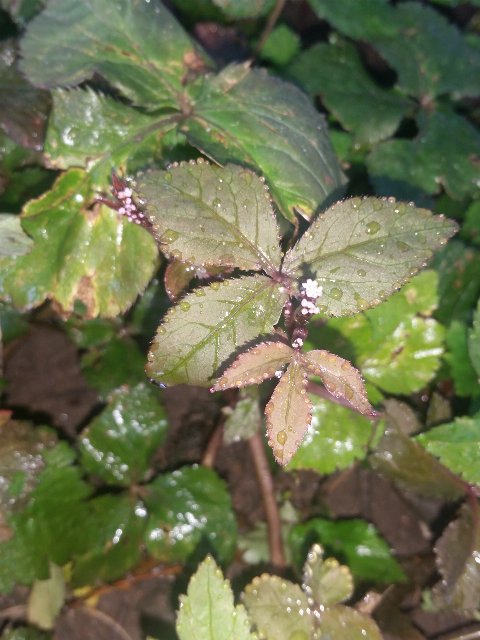 Japanese honewort (Cryptotaenia japonica) is one plant that has escaped cultivation and established in the wild in a few parks across the US, and may have invasive potential, but is not yet listed by any major authorities. We list this plant, but there are likely many more such plants where we have not yet learned of their establishment. Photo © Zihao Wang, CC BY 4.0, Source.
A completely different scenario is when older sources report a particular plant somewhere in North America, but the record has been deemed invalid. In these cases, we retain a record specifically because there is other information out there that needs to be corrected. Even when the original source has been updated to correct the record, it is common, especially with sites like USDA PLANTS, that numerous other websites and print sources repeated the inaccurate information before it was corrected, and these other sources are often not corrected. Sometimes misinformation can propagate in secondary sources for decades after the original source corrected it because no one goes back to check the primary source. In the plant world, this phenomenon is especially prevalent in sources relating to horticulture, gardening, and the commercial nursery industry, where the standards of scholarship are much lower than in the sort of scientific sources we rely on.
Examples of such plants include mountain soursop (Annona montana), Syrian cephalaria (Cephalaria syriaca), braceletwood (Jacquinia armillaris), and willowleaf frostweed (Helianthemum salicifolium). We have noticed such errors are especially common in south Florida where there is a huge volume of introduced tropcial species that cannot survive in most of the rest of the continental US.
The First Range Maps and Lists for Canada and Mexico Finer-Tuned Than Provinces/States
One thing that has frustrated me for years is the lack of fine-tuned range maps and plant lists for regions outside the US, particularly, for Canada and Mexico. Apart from specific sources such as the Silvics of North America, which only covers about 200 tree species, and some print field guides, which similarly do not exhaustively cover the plants of North America, there are no sources with range data as fine-tuned as that presented by BONAP and USDA Plants.Although Canada and Mexico both have administrative divisions finer than States and Provinces, there is no equivalent of USDA PLANTS and BONAP for these countries. Canadensys, the closest to a Canadian analogue of these sources, only has data at the level of individual provinces, and the existence of finer-tuned regional data, when it is available at all, is spotty and not accessible in a single place. In Mexico, there is no such website at all.
Although the lack of data has made it much harder for us to build range maps in Canada and Mexico, it also makes our maps much more valuable and groundbreaking in the cases in which we have been able to build them. In these cases, our maps offer a finer level of detail than anything else out there.
 Golden clematis (Clematis tangutica), also called orange-peel clematis has become invasive in Canada, but has not established in the wild in the lower 48 United States. Photo © MandarinDuck008, CC BY 4.0, Source.
Clematis tangutica is one of many species whose range in North America is restricted to Canada and Alaska; in the two ecoregions that cross the border, it is only known to occur north of the border.
The process of constructing these maps is slow and also error-prone. In many cases, it involves examining individual herbarium records. Although there are good tools (the most important of which is GBIF, the Global Biodiversity Information Facility), there are numerous limitations of the data available. Some herbarium specimens have yet to be digitized, thus making it hard to assess the completeness of some range maps (i.e. it being harder to conclude that a species does not occur somewhere, relative to knowing that it does occur somewhere.) Where records exist, many records have geolocation errors, and in many cases there is insufficient verbal description of the location to catch such errors. Even when the locations are accurate, other aspects of the records can be erroneous, such as plants reported as wild that were actually cultivated, or specimens that were misidentified. And on top of this, we have all the same reclassification issues discussed above, but they are uglier because different herbaria (and even different individuals) may follow different schemes, and reclassifications can thus play out differently from one record to the next.
The process of building these maps thus involves delving into individual herbarium records in a way that rarely is necessary when constructing maps for the lower 48 US. As such, it is much slower. However the results can be rewarding.
As we complete these maps, we move towards plant lists for ecoregions outside the continental US. Back when we launced ecoregion-based plant lists in March of 2022, a major deficiency of our lists was that we had no lists for Canada, Alaska, and Mexico. Although we have not completed them, we are seeing the beginnings of these lists for all three of these regions, and it's just a matter of time before they are complete enough that we can publish tentative lists. Our work is also improving the accuracy and completeness of the plant lists for ecoregions that are split between the lower 48 US and either Canada or Mexico, and there are many such regions. Canada and Alaska will likely be completed long before Mexico, both because there is much less plant biodiversity in the Arctic and more in the Tropics, and also because there are more sources available for Canada and Alaska, and lastly because there is less of a language barrier.
Moving Forward: Things To Come
You can expect a continued focus on range map completion over the next few months. We are still in a phase where we are getting a lot done and we hope to keep improving our tools and techniques so that we don't end up getting completely stuck on the difficult maps. So far, so good!I also want to thank everyone too for ongoing financial support that has allowed me to keep working on this project. Although we still have not met our next financial goal of $20,000, we are getting a lot closer to it. The vision of expanding into a larger organization with staff may remain far off, but for now we are able to keep the site going and keep it ad-free for the forseeable future. I have not yet published the year-end finances but this is another thing to expect in the next several weeks.
Archive of All Blogs
How To Identify Plants, May 7th, 2026
The Bias Against Tall Plants, November 11th, 2025
A Focus on Goldenrods (Solidago sp.), July 23rd, 2025
Disturbance and its Role in Plant Habitat Preferences, May 29th, 2025
What "Native" or "Introduced" Mean: Myths and Misconceptions, March 11th, 2025
Smarter & More Informative Search Results, January 13th, 2025
The Effect of the 2024 US Election on Plant Biodiversity and bplant.org, October 30th, 2024
The Problems With Nursery-Bought Plants, And The Solutions, October 8th, 2024
More Databases Linked & Search Improvements for Scientific Names, July 9th, 2024
Choosing The Best Common Names For Plants: Challenges & Solutions, April 19th, 2024
Range Map & Taxonomic Update Progress, January 31st, 2024
Giving Thanks To Everyone We Rely On, November 22nd, 2023
Thinking More Deeply About Habitat, April 5th, 2023
2022 Year-End Summary: Successes & New Goals, February 15th, 2023
New Databases Linked: Flora of North America & NatureServe Explorer, November 11th, 2022
All Range Maps 2nd Generation, Taxonomic Updates, & Fundraising Goal Met!, September 29th, 2022
More Range Map Improvements, POWO Interlinking, And Notes Fields, June 7th, 2022
Ecoregion-Based Plant Lists and Search, March 30th, 2022
Progress Updates on Range Maps and More, February 10th, 2022
The Vision for bplant.org, December 9th, 2021
New Server: Software & Hardware, August 30th, 2021
More & Improved Plant Range Maps, July 19th, 2021
A Control Section for Invasive Plants, April 15th, 2021
Progress Bars & State Ecoregion Legends, March 11th, 2021
Our 2020 Achievements, February 9th, 2021
Interlinking Databases for Plant Research, November 11th, 2020
A New Homepage, Highlighting Our Articles, July 29th, 2020
A False Recovery, But North Carolina's Ecoregions are Complete!, June 9th, 2020
We're Back After COVID-19 Setbacks, April 3rd, 2020
Help Us Find Ecoregion Photos, February 27th, 2020
What We Achieved in 2019, December 30th, 2019
Plant Comparison and ID Guides, October 30th, 2019
We Are Now Accepting Donations, October 14th, 2019
US State Ecoregion Maps, New Footer, Ecoregion Article Progress, and References, September 19th, 2019
Tentative Range Maps of Native Plants, August 12th, 2019
Ecoregion Locator and Interactive Maps, July 10th, 2019
Using Ecoregions Over Political Boundaries, May 13th, 2019
How We Handle Wild vs Cultivated Plants, April 16th, 2019
A Blog To Keep People Updated On Our Progress, April 8th, 2019
Sign Up
Want to get notified of our progress? Sign up for the bplant.org interest list!